Savannah
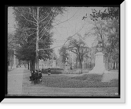
James Oglethorpe laid out Savannah in 1733 on a plan of wards, each built around a public square. Twenty-four were made and twenty-two survive. It is the oldest planned city grid in the United States still functioning as designed, and it means that walking six blocks in Savannah involves passing through five parks.
Photographs of the squares from the 1880s and 1890s show them already mature — live oaks with Spanish moss, monuments, benches, and the houses facing inward. That the plan worked is obvious in the images long before anyone wrote it up as urban theory.
Cotton is the other subject. Factors Walk runs along the bluff above the river, and the cotton factors — brokers — worked from offices there with iron walkways bridging to the buildings behind. Below, on River Street, the warehouses opened directly onto the wharves. The Savannah Cotton Exchange set world prices for a period in the 1880s.
The photographs of the riverfront show bales stacked in numbers that are difficult to take in, and the ships that carried them. The boll weevil ended it in the 1920s.
Sherman reached Savannah in December 1864 at the end of the March to the Sea and did not burn it, which is the reason so much of the eighteenth and nineteenth-century fabric survives to be photographed. He telegraphed Lincoln offering the city as a Christmas gift.
Bonaventure Cemetery appears in the archive too — a burial ground on a former plantation east of the city, with avenues of oaks. It was photographed extensively long before it became famous through a book, and the earlier images are quieter and better.
Around twelve hundred and sixty images in the archive name Savannah, which places it well ahead of cities several times its size.
The College, the Green and the Carriage Trade


-

 Snapshots of the Past
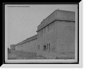
Antique Military - Savannah, Georgia - Fort Pulaski, outer wall
Drawn from the Library of Congress archive, this print depicts Mrs. T.A. Edison. The Library holds one of the most comprehensive collections of American and international historical prints in the...$57.00 -
 Snapshots of the Past
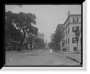
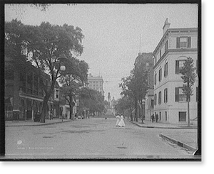
Antique City View - Savannah, Georgia - Bull St. Street (1)
Originally preserved in the Library of Congress, this print of LAFAYETTE Classic is now available for your home or office. The Library has preserved this image as part of its permanent historical...$57.00 -
 Snapshots of the Past
Vintage Americana Print - Savannah, Georgia - National Bank
Step back in time with this striking reproduction of Elsie De Wolfe - 4. Sourced from the United States Library of Congress.Library of Congress record: Title from unverified data provided by the Bain...$57.00 -
 Snapshots of the Past
Historic Street Photo - Savannah, Georgia - Broughton Street
Step back in time with this striking reproduction of Victomtess De Rancoigne. Sourced from the United States Library of Congress.Library of Congress record: Title from unverified data provided by the...$57.00 -
 Snapshots of the Past
Vintage Americana Print - Savannah, Georgia - The Hermitage, slave (2)
Drawn from the Library of Congress archive, this print depicts Helen R. Robinson Classic. The Library holds one of the most comprehensive collections of American and international historical prints...$57.00 -
 Snapshots of the Past
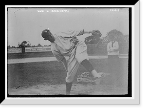
Black & White Photo - Savannah - Karl S. (Babe) Adams
Drawn from the Library of Congress archive, this print depicts J.P. Mitchell, Polo Grounds, 4/14/15 Classic. The Library holds one of the most comprehensive collections of American and international...$57.00