
Categories
- Library of Congress Collections > Historic Print Archive > Aerial & Bird's Eye Views
- Maps > Panoramic Maps — Illinois
- Maps > Panoramic Maps — Michigan
- Maps > Panoramic Maps — Iowa
- Maps > Panoramic Maps — Maine
- Maps > Panoramic Maps — Ohio
- Maps > Panoramic Maps — Virginia
- Maps > Panoramic Maps — California
- Maps > Panoramic Maps — Minnesota
- Maps > Panoramic Maps — Texas
- Maps > Panoramic Maps — Pennsylvania
- Maps > Panoramic Maps — Massachusetts




-

 Snapshots of the Past
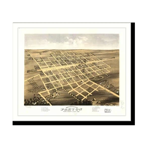
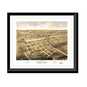
Panoramic Map - Paxton, Illinois, 1869 - Bird's Eye View Print
An original bird's-eye view map of Paxton, Illinois, drawn in 1869.Bird's-eye view maps were drawn by travelling artists who walked a town street by street, sketching every building from an imagined...$57.00 -
 Snapshots of the Past
Panoramic Map - Danbury, Connecticut, 1875 - Bird's Eye View Print
An original bird's-eye view map of Danbury, Connecticut, drawn in 1875.Bird's-eye view maps were drawn by travelling artists who walked a town street by street, sketching every building from an...$57.00 -
 Snapshots of the Past
Panoramic Map - Peru, Indiana, 1868 - Bird's Eye View Print
An original bird's-eye view map of Peru, Indiana, drawn in 1868.Bird's-eye view maps were drawn by travelling artists who walked a town street by street, sketching every building from an imagined...$57.00 -
 Snapshots of the Past
Panoramic Map - Ypsilanti, Michigan, 1868 - Bird's Eye View Print
An original bird's-eye view map of Ypsilanti, Michigan, drawn in 1868.Bird's-eye view maps were drawn by travelling artists who walked a town street by street, sketching every building from an...$57.00 -
 Snapshots of the Past
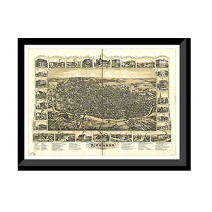
Panoramic Map - Richmond, Indiana, 1884 - Bird's Eye View Print
An original bird's-eye view map of Richmond, Indiana, drawn in 1884.Bird's-eye view maps were drawn by travelling artists who walked a town street by street, sketching every building from an imagined...$57.00 -
 Snapshots of the Past
Panoramic Map - Provincetown, Massachusetts, 1910 - Bird's Eye View Print
An original bird's-eye view map of Provincetown, Massachusetts, drawn in 1910.Bird's-eye view maps were drawn by travelling artists who walked a town street by street, sketching every building from...$57.00 -
 Snapshots of the Past
Panoramic Map - Richmond, Maine, 1878 - Bird's Eye View Print
An original bird's-eye view map of Richmond, Maine, drawn in 1878.Bird's-eye view maps were drawn by travelling artists who walked a town street by street, sketching every building from an imagined...$57.00 -
 Snapshots of the Past
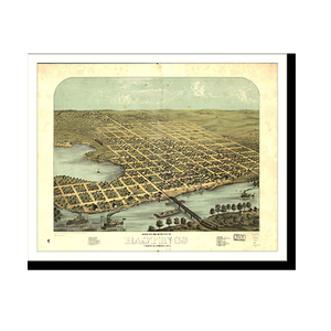
Panoramic Map - Hastings, Minnesota, 1867 - Bird's Eye View Print
An original bird's-eye view map of Hastings, Minnesota, drawn in 1867.Bird's-eye view maps were drawn by travelling artists who walked a town street by street, sketching every building from an...$57.00 -
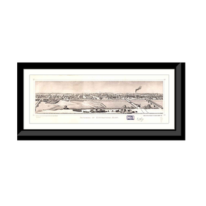 Snapshots of the Past
Panoramic Map - Minneapolis, Minnesota, 1873 - Bird's Eye View Print
An original bird's-eye view map of Minneapolis, Minnesota, drawn in 1873.Bird's-eye view maps were drawn by travelling artists who walked a town street by street, sketching every building from an...$57.00 -
 Snapshots of the Past
Panoramic Map - Topeka, Kansas, 1869 - Bird's Eye View Print
An original bird's-eye view map of Topeka, Kansas, drawn in 1869.Bird's-eye view maps were drawn by travelling artists who walked a town street by street, sketching every building from an imagined...$57.00 -
 Snapshots of the Past
Panoramic Map - Hayderville, Massachusetts, 1886 - Bird's Eye View Print
An original bird's-eye view map of Hayderville, Massachusetts, drawn in 1886.Bird's-eye view maps were drawn by travelling artists who walked a town street by street, sketching every building from an...$57.00 -
 Snapshots of the Past
Panoramic Map - Minneapolis, Minnesota, 1885 - Bird's Eye View Print
An original bird's-eye view map of Minneapolis, Minnesota, drawn in 1885.Bird's-eye view maps were drawn by travelling artists who walked a town street by street, sketching every building from an...$57.00